Action C.3: Remote sensing for agricultural water demand
Concrete action
OBJECTIVE
The objective of this action is to create an online tool for the management of water in the agricultural sector. This will be achieved by developing a crop-map with which we can start to understand the dynamics and interplay of cropping, irrigation and climate as we move forward in time. The approach adopted shall be based on the use of optical and near-infrared Earth Observation Satellite data.
- LEAD BENEFICIARYEnergy and Water Agency (EWA)
- LOCATIONMaltese Islands
- STATUSOngoing
- KEYWORDS Earth Observation, Sentinel-2, NDVI,
- RELATED ACTIONS A.2,
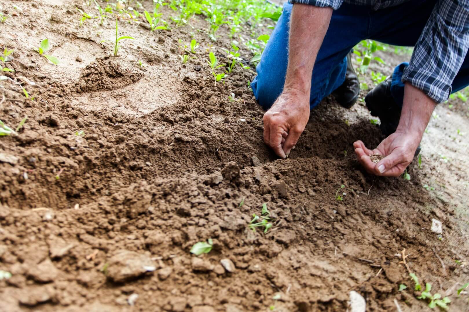
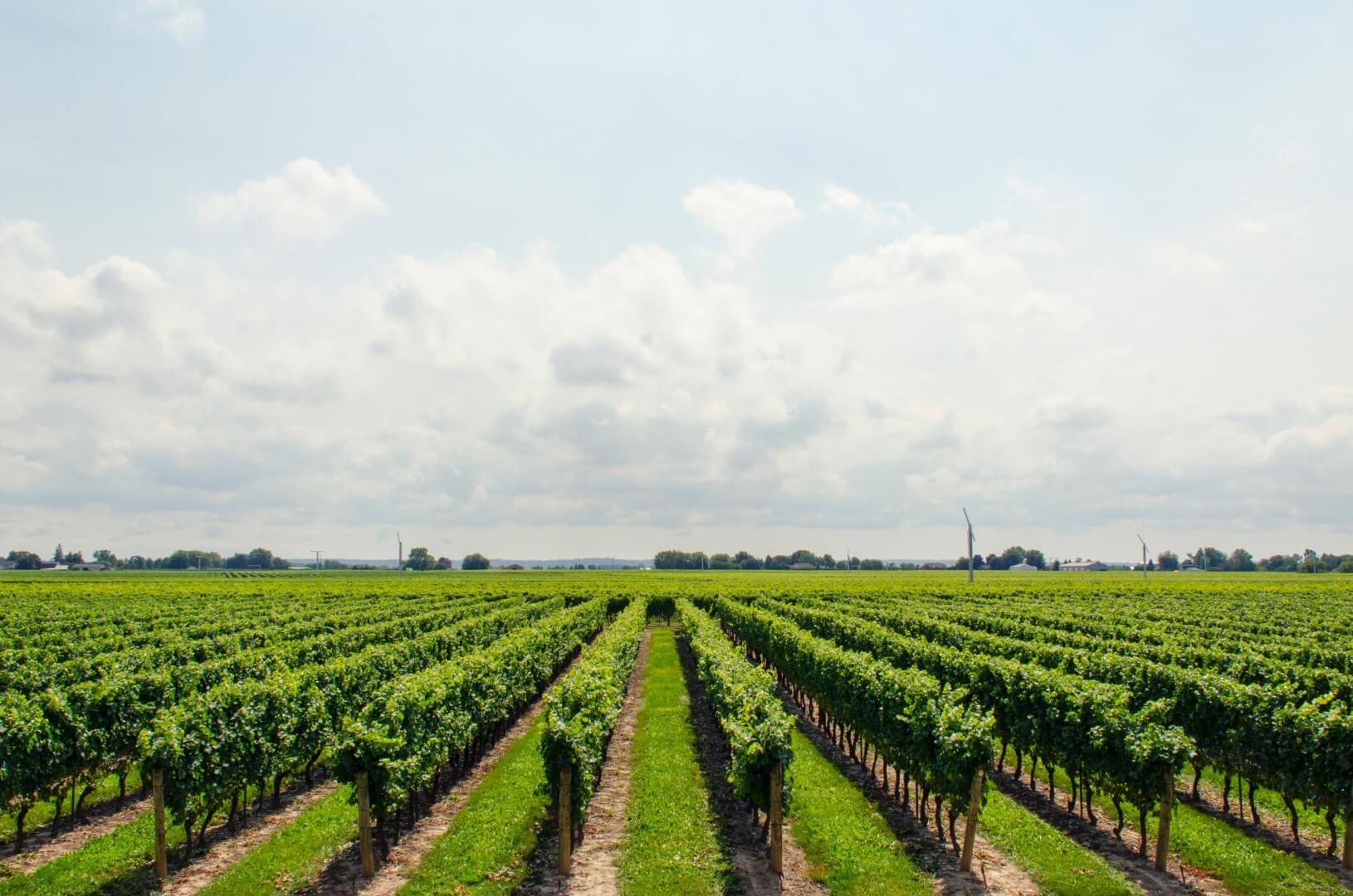
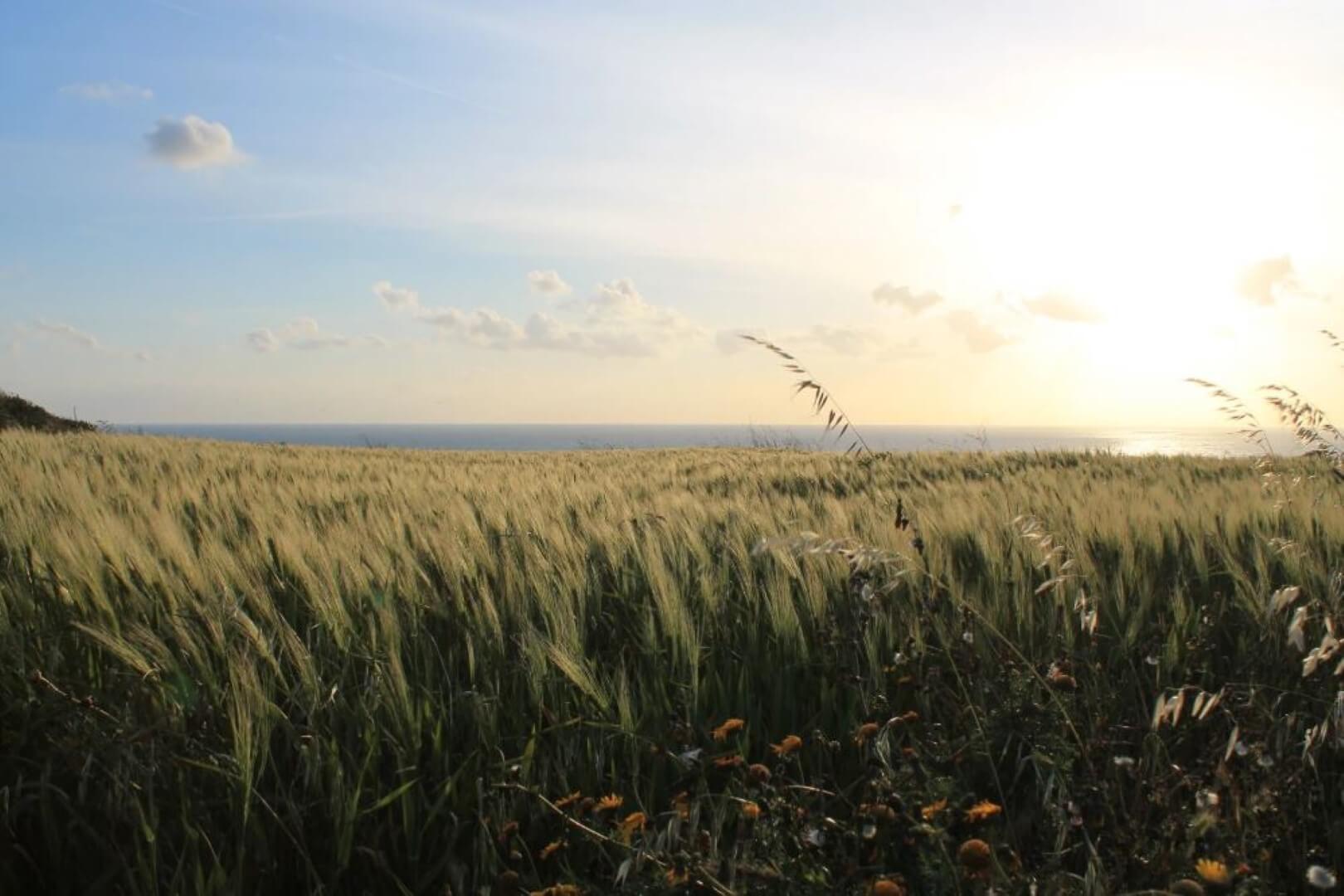
This action shall provide a new approach towards the management of agricultural water demand. This shall be achieved through the development of an online based tool which makes use of multi-platform satellite imagery, particularly from the ESA Copernicus program and Planet PlanetScope. The result of this action will assist in the development of insights into this dynamic and strategic sector by all relevant stakeholders.